About
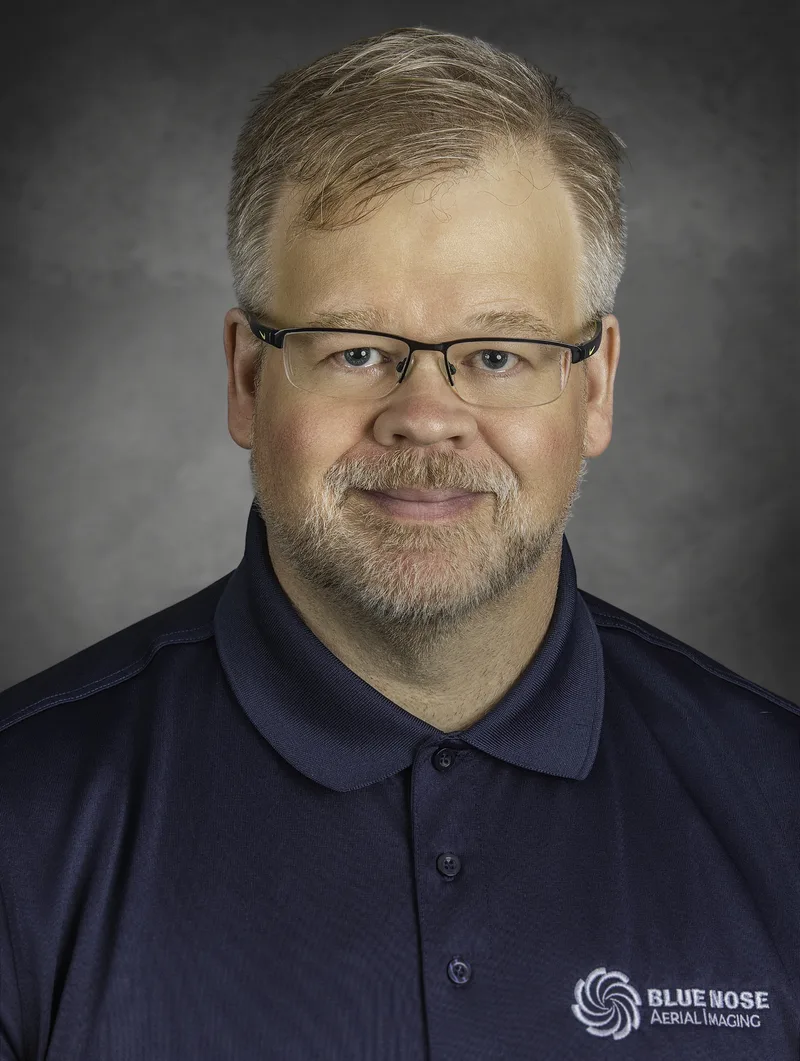
Mark Gehrke is the founder of Terra Scan, LLC and owner of Blue Nose Aerial Imaging – Huron Valley, serving construction, building and utility inspection, and golf course clients across Washtenaw County, with broader service across southeast Michigan.
Mark holds a Master’s degree in Physics from the University of Wisconsin–Madison and brings more than 20 years of experience in remote sensing and image science, spanning defense, intelligence, and automotive imaging work for organizations including the Environmental Research Institute of Michigan (ERIM), Raytheon, Maxar, Ford, and Bosch, along with 17 U.S. patents as a named inventor. That background is the foundation of everything Blue Nose Aerial Imaging – Huron Valley delivers — not just aerial photos, but physics-based analysis you can act on.
Operating a drone services business was a natural extension of that background, and in Blue Nose Aerial Imaging, Mark found a network of professionals equally committed to delivering first-rate drone and remote sensing services. He’s excited about working directly with a new set of customers and helping them solve real problems using the same remote sensing expertise he built over two decades in the field. Every engagement starts with genuinely understanding the customer’s needs, then solving them with first-rate drone image data and analysis. Few drone operators bring this level of technical depth to aerial data — Mark isn’t just flying the equipment, he understands the physics and image science behind what it captures and the processing required to deliver the information the customer actually needs.
Mark is an FAA Part 107 certified remote pilot, carries $1M in liability and errors & omissions insurance, and treats the safety of everyone on the ground and in the air as the top priority on every flight.
Outside of work, he’s usually outdoors — canoeing or kayaking, walking the dog on a local trail, stargazing, or tinkering with whatever project has caught his attention that week.
Terra Scan LLC operates as an independently owned and operated franchise of Blue Nose Aerial Imaging (Denver, CO), combining a proven national operating model with local, hands-on technical expertise.
Blue Nose Aerial Imaging – Huron Valley is a new venture, launched to bring a rare combination — hard science and real remote sensing experience — to a local market that’s mostly seen drone photography. We invite clients to have a dialog with us to discover what we can accomplish. Our goal is to develop a partnership with clients to solve their problems and smooth friction points in their workflows, and to do so with honesty and transparency. What we will show you is exactly how we work and what the data actually looks like.