Blue Nose Aerial Imaging – Huron Valley
Blue Nose Aerial Imaging – Huron Valley turns drone flights into defensible measurements — change detection, volumetrics, thermal anomalies, turf health — for construction, facilities, and golf operations across southeast Michigan.
42.2411° N, 83.6098° W · Ypsilanti, MI
Why Us
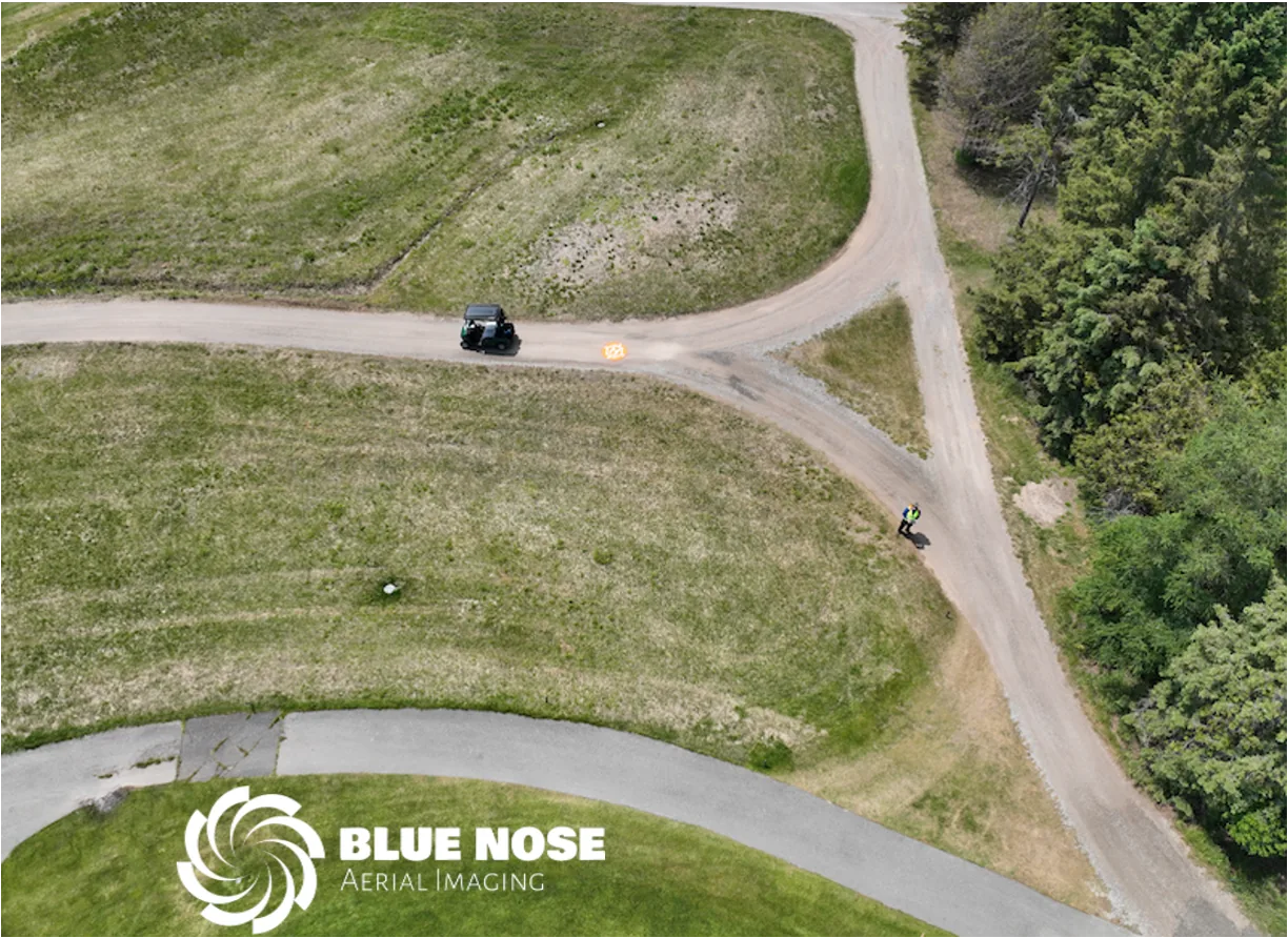
Blue Nose Aerial Imaging – Huron Valley is run by a Physics MS with 20+ years of remote sensing and imaging experience — this isn’t a drone hobby turned side hustle. As a Blue Nose Aerial Imaging franchise, we bring a proven operating model together with the hands-on physical science background to back up every deliverable.
More About UsHonest, Upfront
Blue Nose Aerial Imaging – Huron Valley is a new venture, launched to bring a rare combination — hard science and real remote sensing experience — to a local market that’s mostly seen drone photography. We invite clients to have a dialog with us to discover what we can accomplish. Our goal is to develop a partnership with clients to solve their problems and smooth friction points in their workflows, and to do so with honesty and transparency. What we will show you is exactly how we work and what the data actually looks like.
How A Project Runs
The name isn’t decorative — it’s how every project actually runs.
Work with you to define the question the project actually needs to answer — how much dirt moved, where’s the heat loss, how healthy is the turf — before a single flight is planned.
Fly the right sensor at the right time — RGB, thermal, or multispectral — with RTK ground control where the job calls for it, following industry best practices for safety and image fidelity.
Physics-based processing — not a stock filter — turns raw imagery into a number or a map you can act on. We use AI; we don’t rely on it.
A plain-English writeup of the data, the analysis, and the conclusion — what it means, not just what it shows.
What We Do
Construction
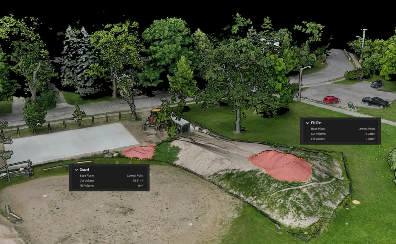
Precision mapping, surface models, geometric and volume measurements — plus progress tracking, as-built comparison, and change-order verification you can bring to a stakeholder meeting.
Golf
Turf health analysis and full course or hole-level precision mapping allowing drainage analysis, detailed green maps, and marketing materials.
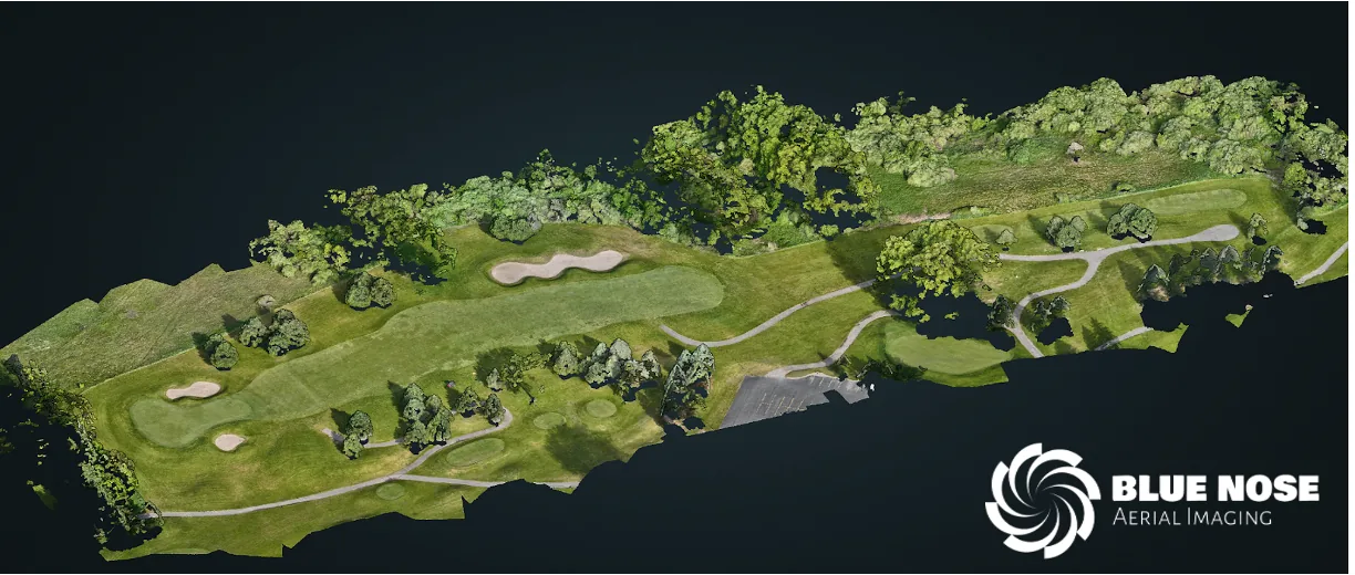
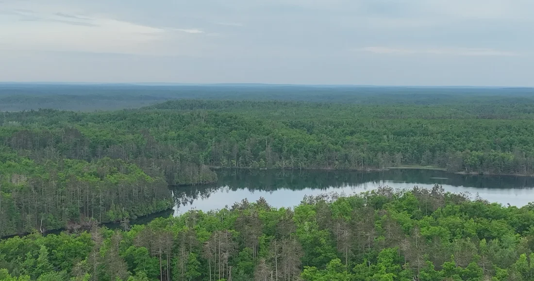
Photo & Video
Clean, fast-turnaround aerial photo and video — from quick still packages to fully edited highlight reels — for real estate, events, and marketing.
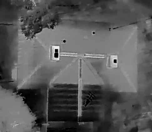
Thermal
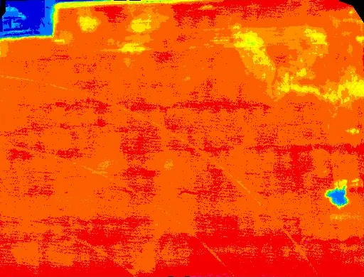
Solar, roofing, and building-envelope anomalies made visible, geolocated, and explainable. Contact us to discuss the services you require.
Agriculture
Crop and field health mapping — a full vegetation-index suite (NDVI, NDRE, GNDVI, and more) with growth tracking between flights. Contact us to discuss the services you require.